As you must be well aware of the enormous toll the earthquake has taken for Nepal by now, there’s still work you can do to help the boots on the ground doing rescue work by helping map the affected regions. Basically, outside of major towns and cities, Nepal’s landscape is very hilly – there are few if any roads to most villages. It doesn’t help in rescue efforts now that all the villages are reduced to rubbles. If there are people stranded in these remote locations, knowing where the houses, residential areas are would expedite the process for rescue efforts. You would be looking at satellite images of the region and labeling whether a particular item is a path, road, house, or anything else. It requires paying attention to roads and having a general sense of what could be accessible.
Unfortunately the process is still hard to grasp for beginners, so I’m going to attempt walking through the process for a new user. There are a lot of options here, so I’m going to pick the one that’s most efficient to get started.
For more detailed instructions, please check the following wiki pages.
Create an Account on Openstreetmap.org
You can go to Sign up page and create one. You’ll have to validate your email address.
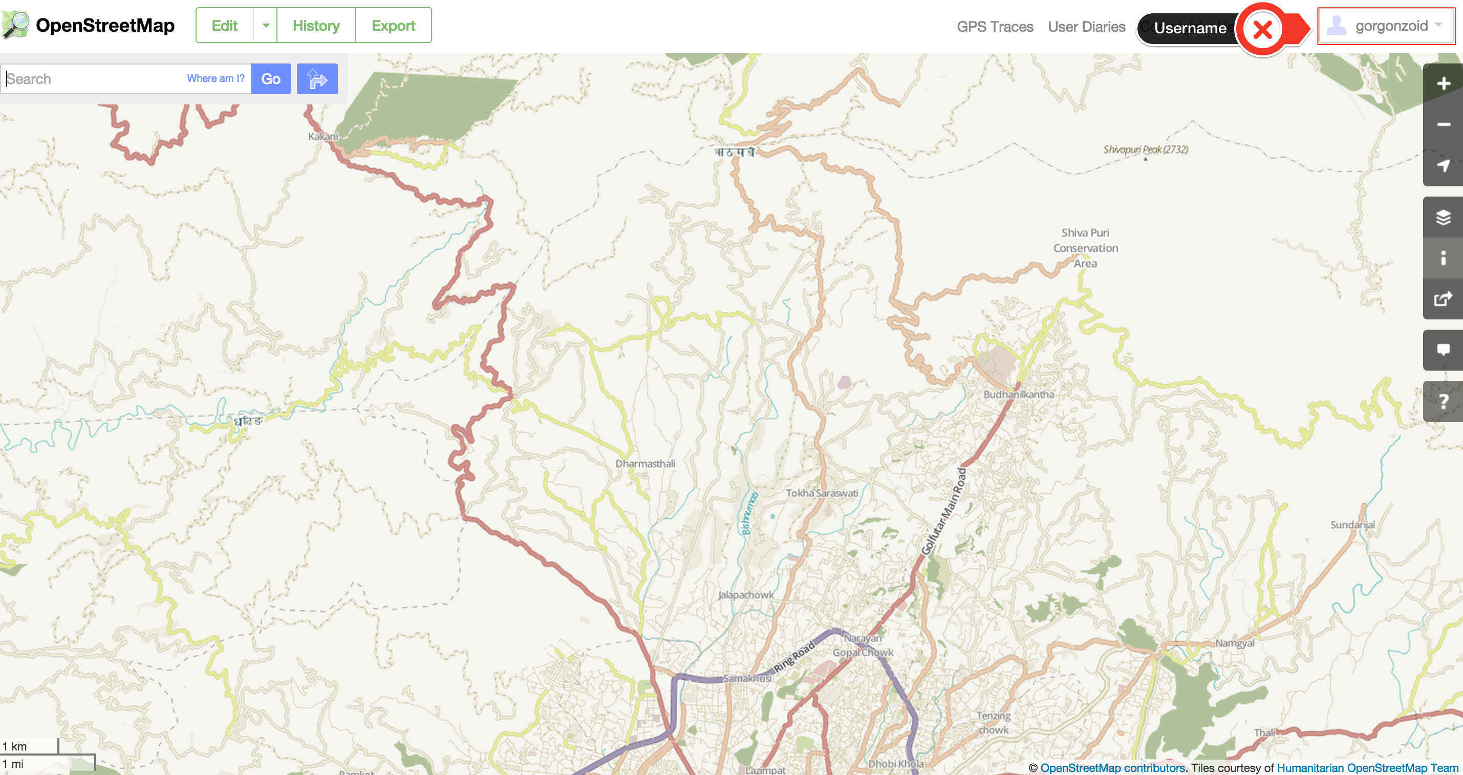
Sign in to the site by following the link.
You’ll be greeted with something like the following.
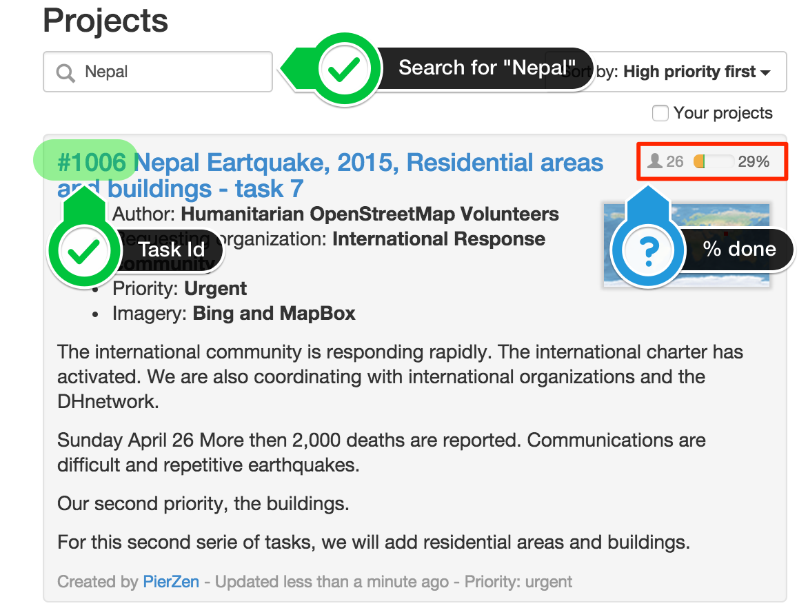
Go to the task manager and search for tasks for Nepal
The Humanitarian OSM Team (HOT) has a Tasking Manager that assigns tasks for you to pick and choose. It’s over at http://tasks.hotosm.org/.
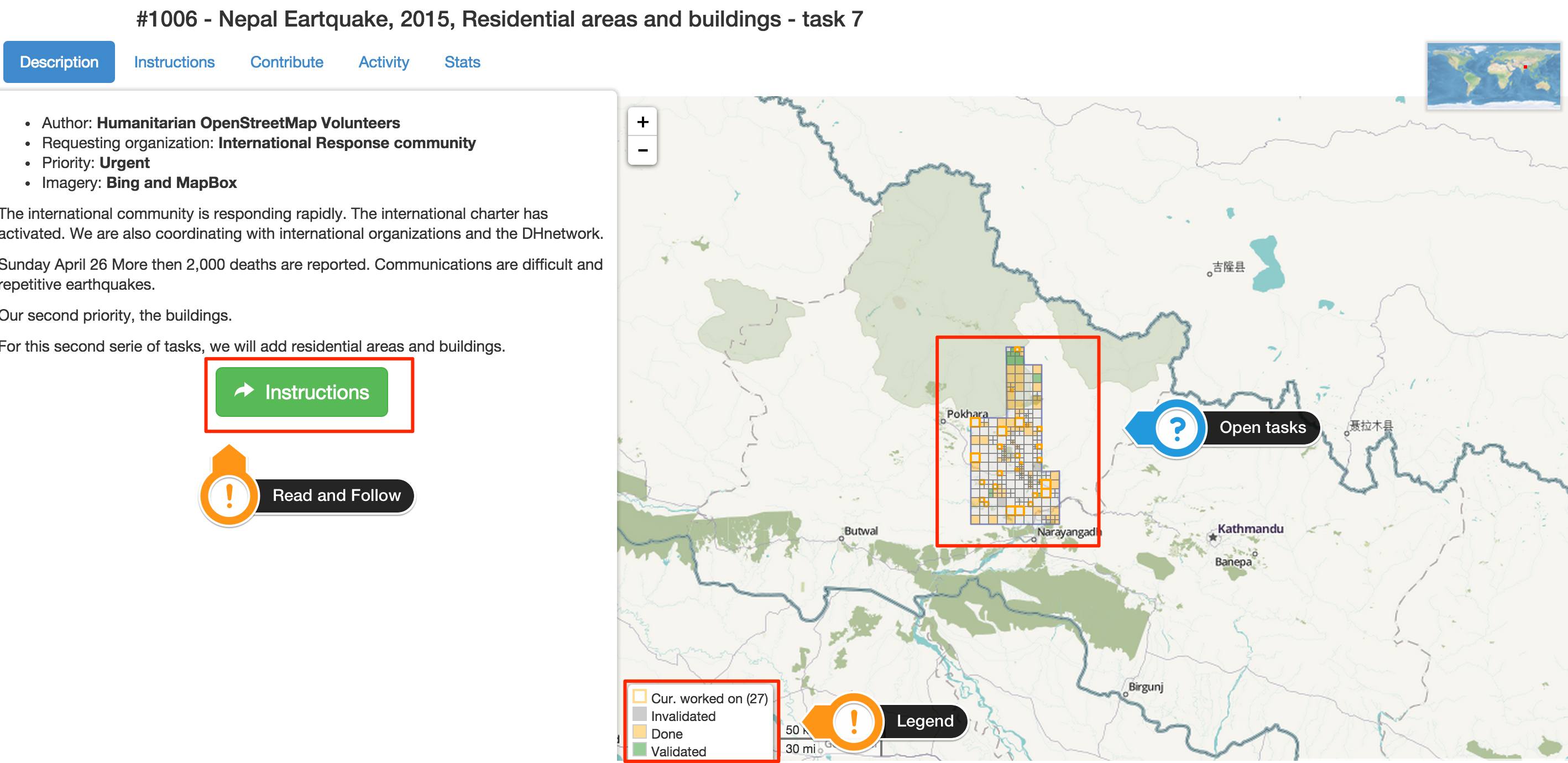
Pick a Task
The main screen is laid out with left side designating instructions and right side with map and various tasks. The way it works is as follows:
- The Grid items are the subdivisions of work.
- Once you click and select “Map” you lock it for 2 hours.
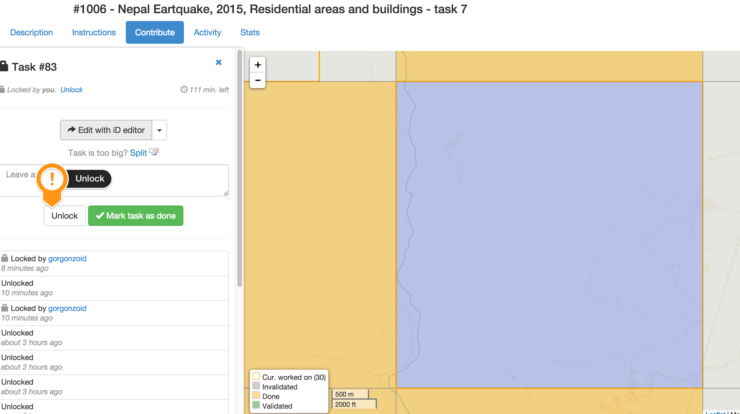
- Please unlock the task if you are not able to continue mapping anymore.
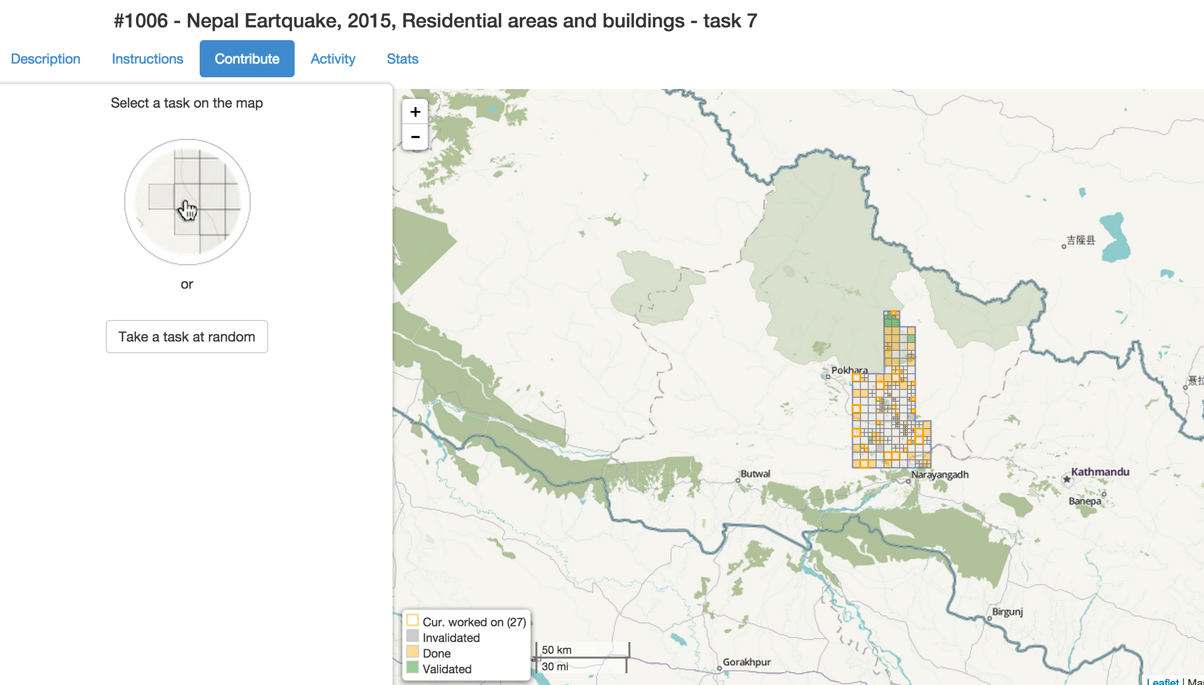
Click on Contribute Tab
On the left side of screen there are various tabs, “Contribute” is the one you want to pick. You can let it pick one at random for you or pick one in the map.
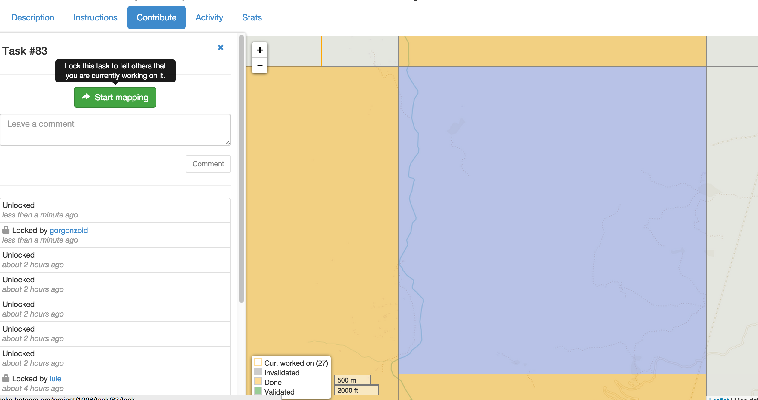
You need to select “Start Mapping” to lock the region.
Use an editor to work on mapping.
There are various desktop options that are great if you want to merge with existing data, do some GIS work, etc. But the learning curve for them is pretty steep. You can use the online iD Editor just fine. It’s synced with the servers, so as soon as you save, it becomes accessible to others for reviewing.
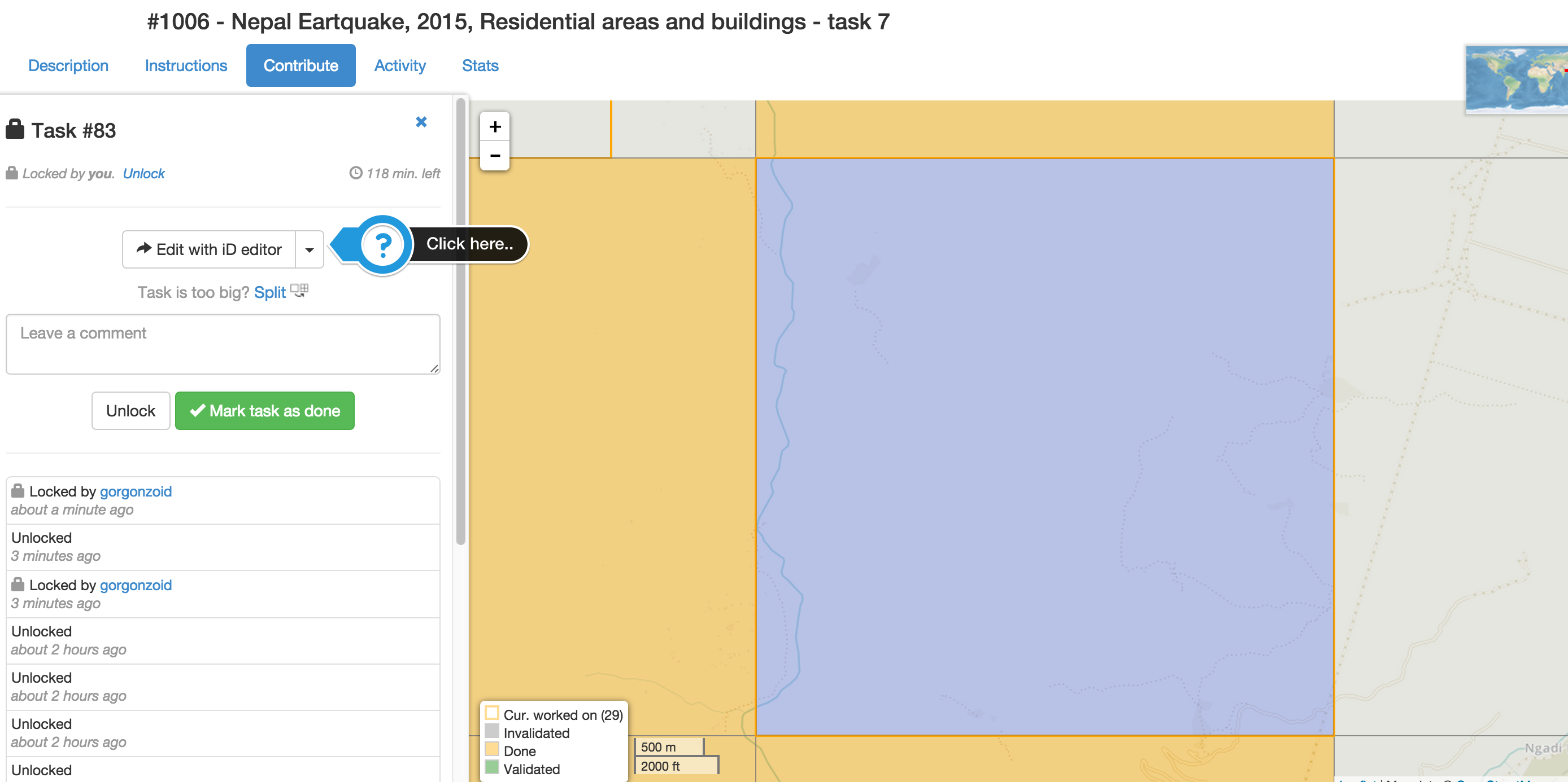
Open iD editor and start mapping
Follow the walkthrough.
I think the walkthrough is done very well and is very straightforward if you have done any amount of graphics work. Even MS Paint experience is good here. :)
Once you are done editing, save it so it’s accessible to others.
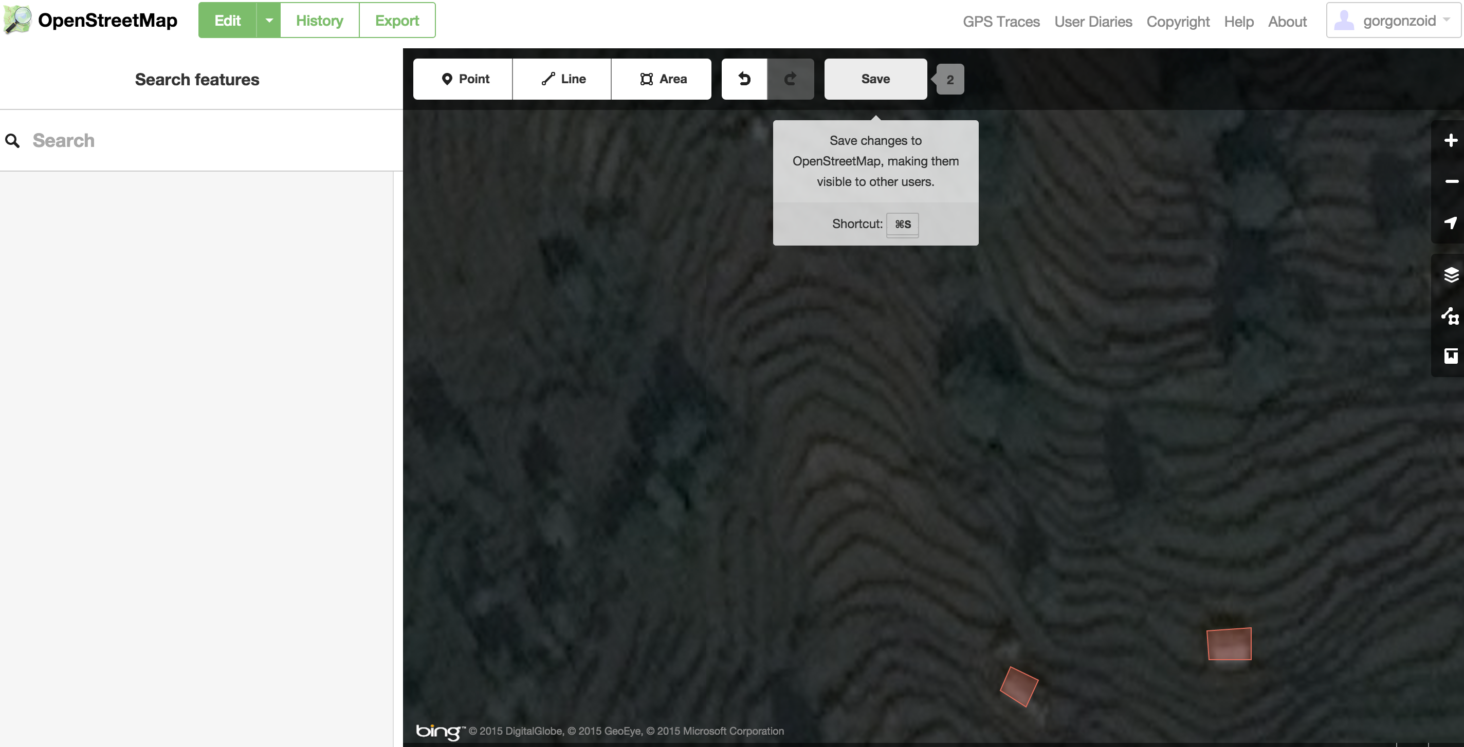
Remember to Unlock once you are done mapping
Please, do remember to save so that someone else can continue the work if you can’t.
More resources
This is an attempt to boil down a series of tasks, if you have any questions or confusions contact the fine folks in #hot IRC channel on oftc.net or leave a comment here and I’ll try my best to answer them. And thank you for your work. You’re awesome!!
- There are tons more resource on wiki.openstreetmap.org/wiki/2015_Nepal_earthquake
- Nepal Remote Mapping Guide
- Nepal Roads Guidelines
- I found out about Kathmandu Living Labs Resources. They have great tutorials.
Update: Explained the process of mapping and why we’d want to do so. Thanks @biswas